From early field documentation through final inspection, Terra supports your project at every stage — improving efficiency and ensuring accuracy.

LiDAR Scanning & Drone Photography

Document existing conditions at any phase of your project. Eliminate gray areas from your projects scope. Every scan comes with complimentary drone imaging, a basic floor plan and access to your client portal.

Reduce site visitsTrue LiDARHigh-resolution

As-Builts

Eliminate the guesswork. Terra creates highly detailed as-built packages that will blow competitors out of the water. Each as-built includes site verification, property research, and a 7-10 page plan deliverable.

Accuracy focusedStrong foundationStart with confidence

Design Visualization

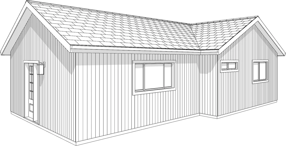
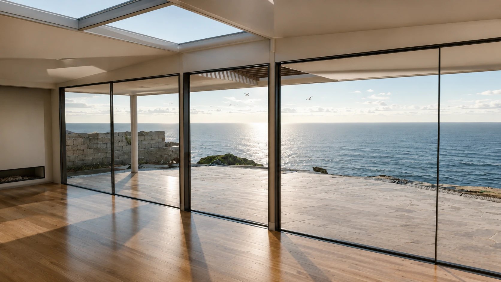
3D modeling and rendering services that turn flat drawings into coordinated spatial models. Used for design validation, client presentations, HOA submittals, and contractor coordination.

Fewer field conflictsFaster client sign-offApproval-ready packages

Construction Documents

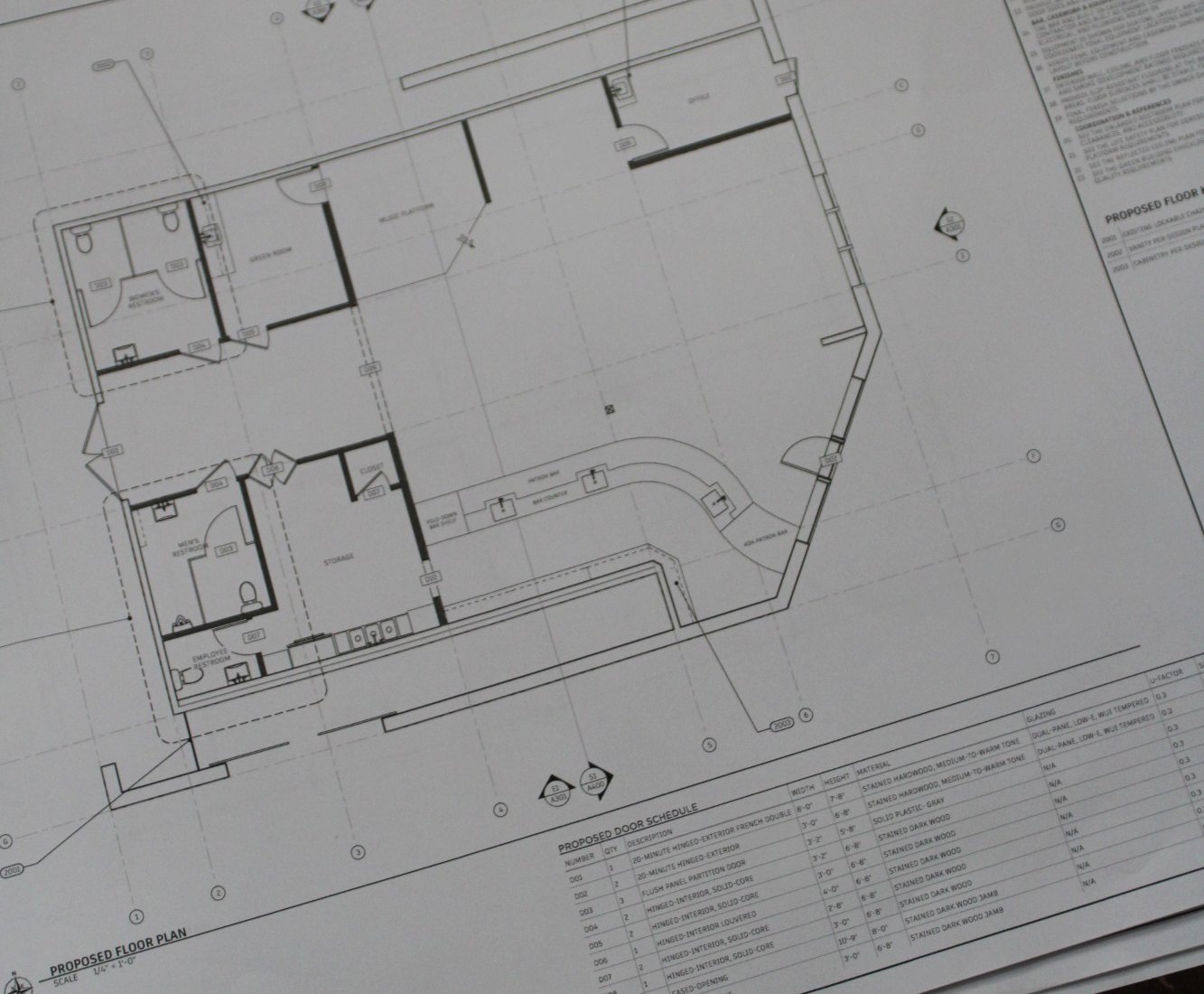
Build-ready construction documents developed for contractors, delivering clear and coordinated information that supports efficient permitting, accurate bidding, and smooth execution in the field.

Permit readyBid documentsCoordinated design

MEP Coordination

MEP coordination that routes mechanical, electrical, and plumbing through a coordinated model. Conflicts with structure and framing get resolved before the set goes out, so each trade installs from the drawings instead of improvising.

Coordinated before installFewer change ordersTrade-ready drawings

Permit Support

Permit consulting services covering zoning feasibility, submittal preparation, plan-check management, code-enforcement resolution, and plans examiner coordination. We handle the paperwork so you can handle the build.

Clear path to permitManaged review cycleReduced GC overhead

What’s our process?

Terra works in the background for leading industry professionals, streamlining the design and construction process. We come in where you need us, on one phase or every phase, so you can take on more projects without adding headcount. LiDAR, drone survey, and 3D modeling, handled.

Ready to start?

Tell us about your project and we'll scope it out.

Get a free estimate